IN Brief:
- Fugro and partners carried out almost 70,000 hours of marine and coastal surveys across a reported 2,337 km of survey coverage.
- The results will inform proposed infrastructure for approximately 900 MW of offshore renewable generation associated with Tonn Nua.
- The consultation on landfalls, cable corridors, substations and grid connections closes on 8 December 2026; none of these locations is final.
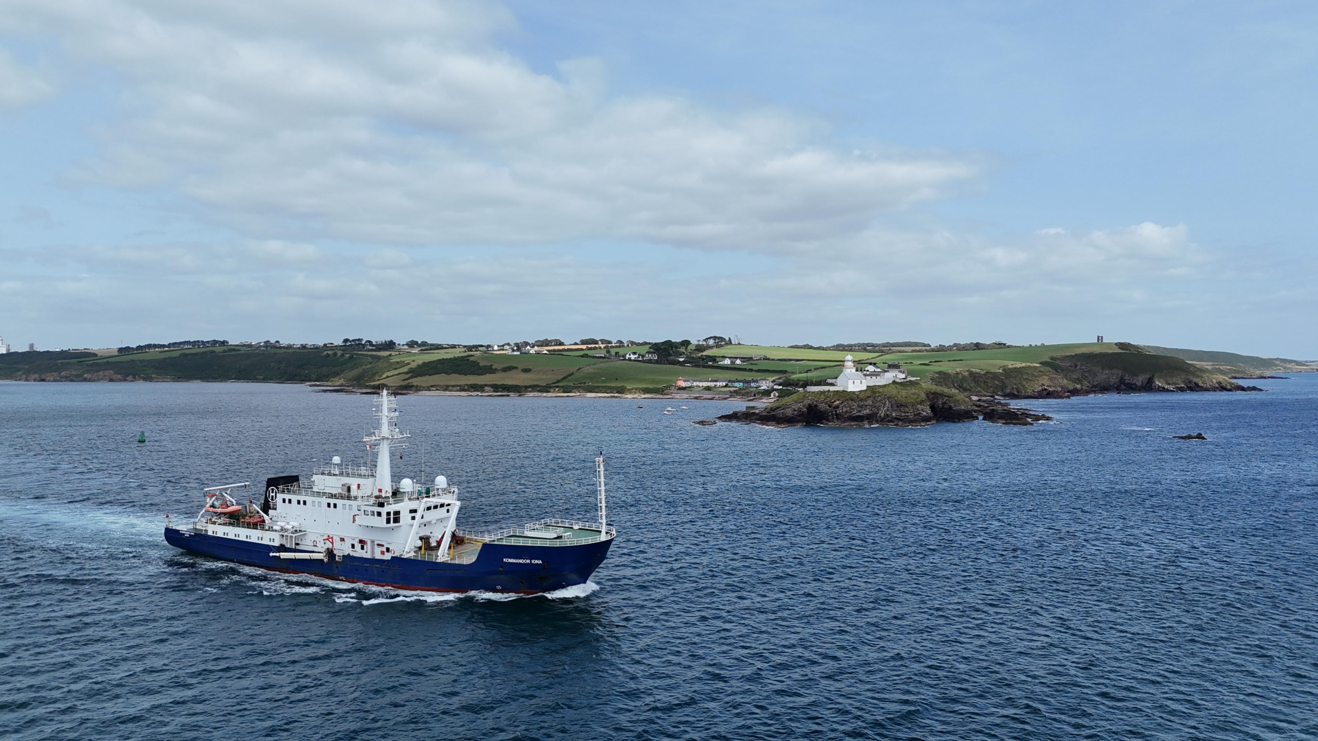
EirGrid has completed its 2026 marine and coastal survey campaign for the Powering Up Offshore – South Coast programme, adding seabed and shoreline evidence for Ireland’s proposed offshore electricity connections. Fugro and supporting contractors carried out almost 70,000 hours of survey activity, with the coverage reported as 2,337 km of maritime investigations. The published figure is a survey extent rather than 2,337 square kilometres of seabed. This is an information-gathering milestone; offshore transmission cables have not been reported installed or a construction contract awarded as a result.
The work concerns the Tonn Nua maritime area off Ireland’s south coast, identified in the government’s South Coast Designated Maritime Area Plan for Offshore Renewable Energy. EirGrid expects the infrastructure being planned to accommodate approximately 900 MW of offshore renewable generation. That figure describes potential grid-connection capability once projects and transmission assets are developed; it is not generation presently connected to the network.
Marine investigations provide the baseline from which engineers assess the practicality of offshore substations, subsea power cables, landfall positions and onward links to the high-voltage network. Seabed topography influences whether a cable route can avoid steep changes in level, mobile sediment and obstructions. Shallow geological and geotechnical conditions inform installation methods, burial assumptions, foundation design and the treatment of locations where cables approach the shore. Environmental observations add a separate set of constraints that must be considered alongside electrical performance and the physical route.
Survey data do not by themselves define a final engineering solution. A cable corridor judged feasible during preliminary studies can change as more detailed ground investigations, maritime-use information, regulatory requirements and construction access are assessed. Offshore substations also require engineering decisions on location and foundation arrangements, as well as how export circuits will be brought ashore and connected to new onshore substations. The latest data are intended to narrow those options and identify where further investigation may be needed.
Fugro is carrying out the investigations under a seven-year survey framework awarded by EirGrid in 2025. The broader programme spans geophysical, geotechnical and environmental work offshore, nearshore and at proposed landfalls. Surveys require different methods according to water depth and the type of evidence needed: acoustic and geophysical instruments map conditions, while physical sampling can test material characteristics at selected sites. Completion of the 2026 campaign does not mean that all subsequent environmental monitoring, site-specific ground investigations or final design tasks have also ended.
The completed work adds to a separate phase undertaken in 2025, when EirGrid reported more than 40,000 working hours and 3,770 km of seabed investigations. Evidence from successive campaigns can be compared to refine potential corridors and to locate features that merit targeted follow-up. Engineers still have to reconcile offshore route conditions with shoreline approaches and the interfaces to existing transmission infrastructure. Neither the 2025 survey framework nor the earlier campaign constitutes a final decision on the location or method of construction for the grid connection.
Those interfaces are significant for high-voltage offshore export connections. Cable routes must be compatible with electrical transmission requirements, vessel installation methods, protection at crossings and the conditions at landing points. Once power reaches land, new onshore cable routes and substations may be needed to deliver it into suitable transmission nodes. Each possible route has different engineering, environmental and community effects. No particular landfall, cable route or substation site should be treated as final merely because survey work has finished nearby.
EirGrid is running a 12-week consultation on emerging infrastructure options, due to close on 8 December 2026. The consultation includes possible offshore cable corridors and substations, landfalls, onshore transmission cable routes and connection points in counties Cork and Wexford. Feedback from coastal communities, fishers, landowners and other marine users will feed into the evaluation alongside technical evidence. Consultation remains part of project development rather than a completed planning or maritime consent.
Related environmental monitoring also extends beyond this discrete campaign. In June 2026, Fugro reported a separate two-year marine-mammal monitoring contract for EirGrid, involving acoustic equipment designed to establish a longer-term ecological baseline. That work has a different purpose and duration from the completed 2026 survey programme, and its existence does not mean the associated monitoring obligations have ended.
EirGrid will use the survey results and responses to the consultation to develop its engineering and environmental assessments, with statutory approvals and detailed design still to follow. EirGrid has not selected a final offshore cable alignment, landfall or substation location. The survey programme has supplied more evidence for the prospective 900 MW transmission connection, while choices affecting the marine route, shore crossings and onshore network remain open.